Following the M7.8 Kaikoura Earthquake of November 2016, 10s of thousands of landslides were triggered; at least 200 landslide dams have been identified across the impacted landscape.
In collaboration with GNS researchers, we have begun to examine the trajectory of landslide dams, from emplacement, to breaching and incision, to reworking of landslide materials by the fluvial system. Steep and confined rivers such as the Hapuku River are able to effectively convey mobilised material to their lower reaches, which has implications for managing flood flows and infrastructure downstream.
Have a look at Charlotte Milne’s work on the Hapuku River system:
Initial work has been focused on repeat surveys of the more dynamic systems (Hapuku, Conway, Leader rivers), some initial sampling of river substrate, and modelling of sediment transport dynamics.
 The Conway River Landslide Dam.
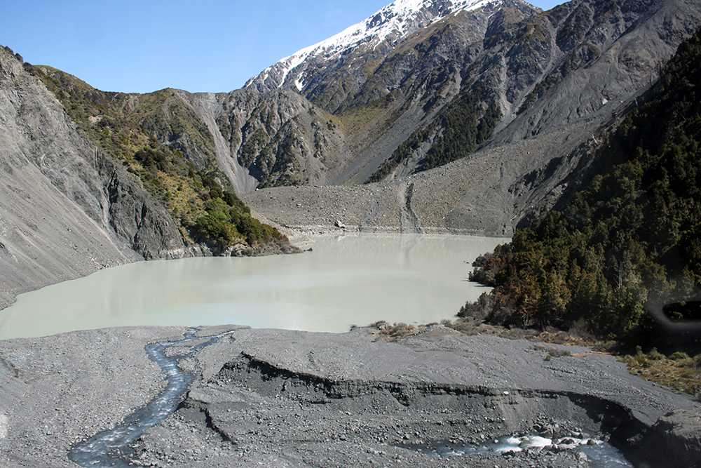
The lake above the Hapuku River Landslide Dam.
Video from our fieldwork on the Hapuku and Conway rivers, Oct 2-4, 2017.