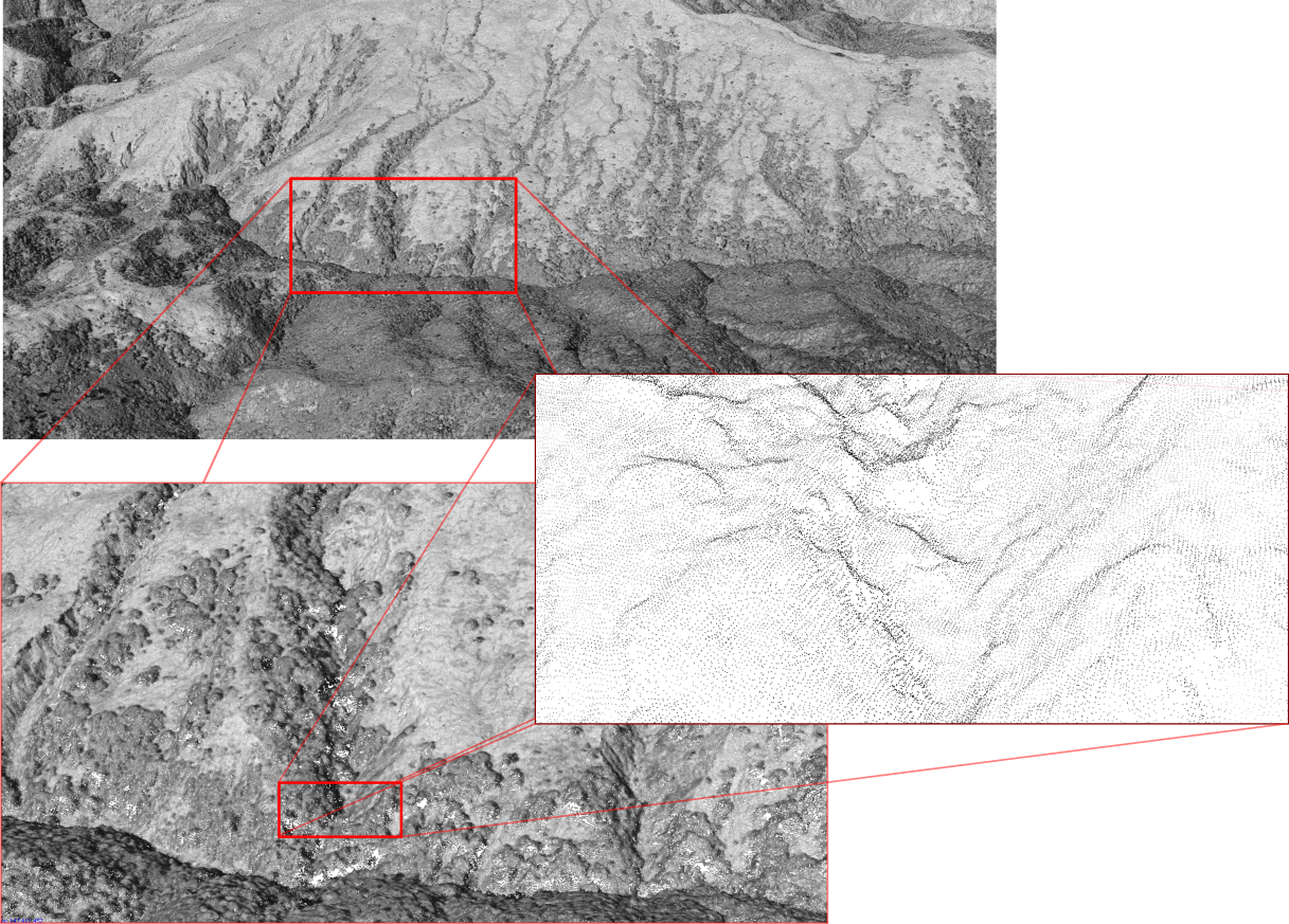
 With the availability of millions of frames of high-resolution scanned airphoto imagery, we are looking at ways of extracting topographic information from airphotos using Structure-from-Motion techniques. In cases where there is sufficient overlap amongst photos, it is possible to model the configuration of the landscape going back to the late 1930s.
By extending our time series of topographic surfaces, we are able to look quantitatively at the volumes of material eroded from hillslopes and deposited in valley bottoms, allowing some good perspective on the cumulative effects of large-scale mass wasting in places such as New Zealand’s East Cape.
As this projects develops, we will be posting examples of topographic ‘differencing’ between modern surveys and detailed reconstructions from 60 years ago.